Dataset Identification:
- CARICOOS is the observing arm of the Caribbean Regional Association for Integrated Coastal Ocean Observing (CaRA) http://cara.uprm.edu/. This effort, funded by the NOAA IOOS office http://ioos.noaa.gov/, is one of eleven coastal observing systems and regional associations which along with federal agencies constitute the national coastal component of the US Integrated Ocean Observing System. For more information on the regional associations, please visit http://www.ioosassociation.org This web page brings together coastal ocean data and forecasts from a variety of sources including satellites, ocean instruments and numerical models to give the user an integrated view of past, present and forecasted ocean conditions in the US Caribbean region. Data are provided online by a number of organizations including NOAA, NASA, ONR Universities and others to whom credit is given. Data and graphics, other than NOAA National Weather Service products, are presented as experimental products. CaRA assumes no responsibility for the validity of the data for planning or executing marine activities. For official information and forecasts on marine weather you should consult with the National Weather Service at http://www.nws.noaa.gov/ and its San Juan office at http://www.srh.noaa.gov/sju/
- Title CARICOOS Data Portal
- publication Date 2007
- organisation Name Caribbean Coastal Ocean Observing System
Theme keywords (theme):
IOOS
Integrated Ocean Observing System
CARICOOS
Caribbean Regional Association for Integrated Coastal Ocean Observing
Regional Observing Data Portal
Coasts and Oceans
real-time conditions
data portal
Air Temperature
Barometric Pressure
Bathymetry
Bioluminescence
Chlorophyll
CO2
Dew Point
Dissolved Oxygen
Omega Aragonite
Precipitation
Relative Humidity
Salinity
Sea Water Pressure
Solar Radiation
Stream Flow
Stream Height
Total Alkalinity
Turbidity
Water Level
Water Temperature
Wave Height and Direction
pCO2
pH
Location keywords:
Caribbean Sea
Puerto Rico
Temporal keywords:
real-time observation
near real-time observation
Location keywords:
CONTINENT > NORTH AMERICA > UNITED STATES OF AMERICA
- Title NASA/GCMD Location Keywords
- revision Date 2016-05-11
purpose:
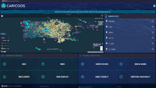
Browse image (thumbnail):
- maintenance or update frequency: continual
- Legal Constraints
-
- Access Constraints otherRestrictions
- use constraint: otherRestrictions
- Other constraints
- This information is presented as a good faith service to the scientific community, the public in general and to our colleagues and friends. The information, views and opinions herein provided should not be viewed as formally accurate scientific data and/or advice that can be relied upon without proper verification and validation. This service should not be construed as a substitute for specific data that could be obtained though official sources. If any inaccuracy is observed, please inform CaRA as soon as possible for verification and correction, as necessary. Use of and reliance upon the information provided in this web site signifies that its user(s) understands and has(ve) accepted of the above mentioned caveat and conditions.
Resource extent
-
- extent Type Code 1
- westBoundLongitude -69.0
- eastBoundLongitude -63.0
- northBoundLatitude 22.0
- southBoundLatitude 14.0
Geographic Bounding Box - Temporal Extent
Geographic Extent
real-time / near real-time
2007-01-01
- organisation Name Caribbean Coastal Ocean Observing System
- Contact information
- Linkage for online resource
Content information: feature catalog description
- Included With Dataset true
- Feature Types Air Temperature
- Feature Types Barometric Pressure
- Feature Types Battery
- Feature Types CO2
- Feature Types Chlorophyll
- Feature Types Conductivity
- Feature Types Depth to Water Level
- Feature Types Dew Point
- Feature Types Dissolved Oxygen
- Feature Types Fuel Moisture
- Feature Types Fuel Temperature
- Feature Types Ground Temperature
- Feature Types Omega Aragonite
- Feature Types Panel Temperature
- Feature Types Precipitation
- Feature Types Real Dielectrict Constant
- Feature Types Relative Humidity
- Feature Types Salinity
- Feature Types Sea Floor Depth Below Sea Surface
- Feature Types Snow Depth
- Feature Types Snow Water Equivalent
- Feature Types Soil Mosture Percent
- Feature Types Solar Radiation
- Feature Types Steam Flow
- Feature Types Stream Height
- Feature Types Tide Predictions
- Feature Types Total Alkalinity
- Feature Types Turbidity
- Feature Types Water Level
- Feature Types Water Temperature
- Feature Types Wave Height and Direction
- Feature Types WebCam
- Feature Types Wind Speed and Direction
- Feature Types pCO2
- Feature Types pH
Resource distribution information
Distributor
- organisation Name Caribbean Coastal Ocean Observing System
- Contact information
- Linkage for online resource
- Format name WMS
- Format version
- Format name WFS
- Format version
- Format name SOS
- Format version
- Format name OPeNDAP
- Format version
- Format name WCS
- Format version
- Format name netCDF
- Format version
- Linkage for online resource
-
- name CARICOOS Web Portal
- URL: http://www.caricoos.org/
- Description
- maintenance or update frequency: asNeeded
- organisation Name DOC/NOAA/NOS/IOOS
- position Name IOOS metadata manager
- Contact information
-
- Linkage for online resource